


How to plan a route for a day in the mountains
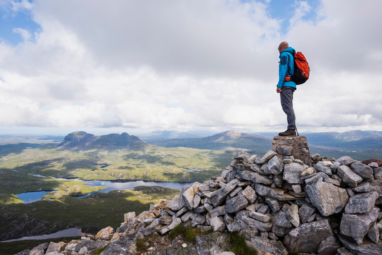
Mountaineering instructor Bill Strachan explains how best to plan a route for a day in the mountains, and how to prepare for things going wrong…
Every year across the UK, mountain rescue teams get called out to search for missing walkers who are over-due. This can be a daunting task, especially when all there is to go on is a car parked in a layby. In this short post, I’ll try to give a few pointers for how to plan a route with friends, or solo, how to record where you’re going and just as important, how to ensure that help will be on its way should you find yourself needing it.
The Scottish Avalanche Information Service launched the ‘Be Avalanche Aware’ process a few years ago and, having seen the benefits of this structured planning tool in winter, I now use it all year round. Try it for a few trips and before long it will become second nature. The format remains the same, just more of a ‘Be Adventure Aware’.
When you begin to plan a route for your walk, think about: Terrain you plan to travel over: steep areas, distances, rivers to cross, when will daylight fade? What other options have you got if you decide to change plans? Weather and conditions: the effect of wind on narrow ridges, temperature, precipitation, wind speed and direction. You and your party: is everyone fit enough for the planned route and does everyone have the same objectives? Does everyone have the appropriate equipment? If you’re a large group it could be better to split into two smaller teams.
Everyone should be involved when you plan a route, even the least experienced person has a voice that should be heard. When on your journey, review the same three influences of terrain, weather and you and your party. If things are not as anticipated, then perhaps consider reviewing the route, as it may be more appropriate to follow the alternative. These decision-making places are often pre-planned key places identified while planning.
Leaving a record of where you plan to go with someone is always a good idea. The image that comes into my mind when I think of a route card is one that has a grid reference with a walking direction and a distance/time to the next grid reference and so on. I’ve never done these… I’m too lazy! I also like the ability to extend or shorten my walk as I feel like when out in the hills.
It’s the freedom of the mountains that I love and that traditional route card doesn’t work well for that kind of ‘I might go there’ kind of planning. If you’re following a recognised route from a guidebook, then letting someone know what page the route is on and your due back time is quick and simple.
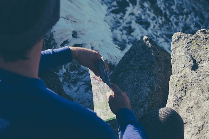
Another common method of recording a route is to leave a copy of a map with a route simply drawn on it. A dotted line can be for alternative routes that you might use, either to bag that next Munro or to get back to the car quicker if the rain becomes too much to bear. On the back I put my mobile number and the numbers of anyone I’m with, as well as my due back time.
A route card left with someone is only half the equation; does that person know how and when to get help if you don’t turn up? It’s important to have some sort of late back procedure in place. The most straight forward would be, “If I’m not home or you’ve not heard form me by 8pm then call the police.”
Like my route card, I like to have some flexibility with my timings, so I have developed an easy flowchart that is on the side of my fridge at home. The first couple of things on it are to try to call me and to consider giving me another hour before escalating a rescue? It also has exactly how to contact mountain rescue and what to tell them. These might be obvious things when sitting here reading this, but would they be obvious for the person who is worried about you?
I hope you’ve found this insight into how I plan useful. Please feel free to plagiarise and adapt it to suit your own needs. You can find more on the BAA process here. Route planning is one of the many skills covered in our range of Discover courses in the Rock & Mountain department at Glenmore Lodge.
Who’s writing?
Bill Strachan is a Senior Instructor at Glenmore Lodge, Scotland’s National Outdoor Training Centre. He is a member of the Association of Mountaineering Instructors and holds the Mountain Instructor Certificate (MIC), the highest UK award for climbing and mountaineering. He is also a WEMT (Wilderness Emergency Medical Technician) and an experienced Emergency Medical Technician.


