

There’s no shortage of spectacular hiking regions in Switzerland, but the Bernese Oberland really is something special. From the breathtaking scenery of the Jungfrau to the picture-perfect town of Grindelwald, there’s no end to the incredible views that await in this adventure playground. To help plan your very own adventure, we’ve rounded up five of the best hikes in the Bernese Oberland, with a variety to suit every taste and ability.
Oeschinensee Loop
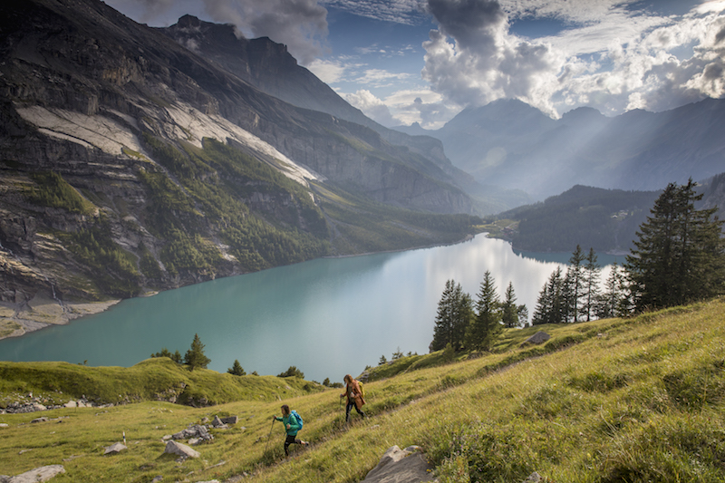
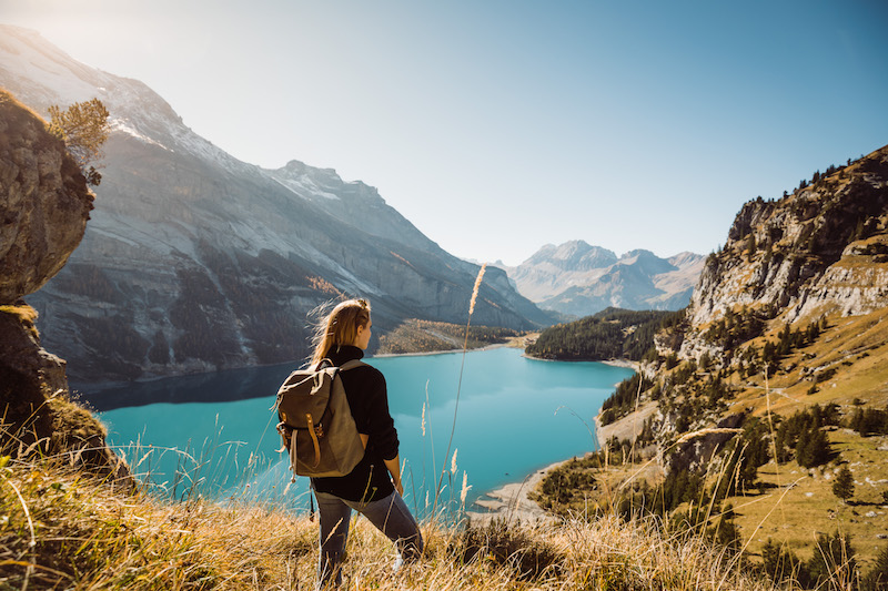
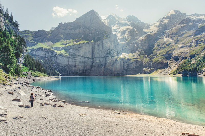
This popular hike from the alpine town of Kandersteg brings you to the shores of the glimmering Lake Oeschinensee and makes for a stunning day hike amongst beautiful alpine scenery. It’s a fairly straightforward route along waymarked paths, which begins with a scenic cable car ride from Kandersteg. You’ll then stroll through the most picturesque alpine meadows and magical pine forests, before the vibrant blue waters of Oeschinensee flood before you, flanked on all sides by majestic peaks.
Head upwards along the north side of the lake for a bird’s-eye view of its sapphire waters and the Bluemlisalp Massif, complete with tumbling glaciers, in the distance. At the northwest end of the lake, the trail drops back down to the gondola station, although you could also easily descend on foot.
Start/Finish: Kandersteg
Distance: 5.2 miles
Difficulty: Easy
Grimsel Pass to Sidelhorn
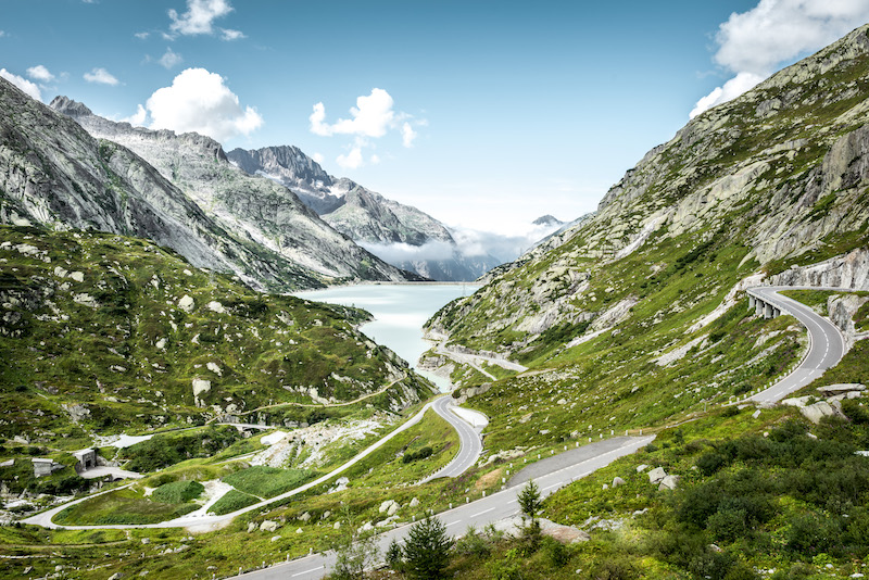
This thrilling ridge walk offers hikers a chance to check out the world-famous Grimsel Pass, as well as mind-boggling views of the Bernese Oberland. The spectacular scenery begins before you even get out the car, as you ascend via a breathtaking sequence of hairpins to reach the trailhead at Grimsel Pass.
Here, you’ll set off along the ridge, with the iconic Valasian peaks dominating the skyline to the left and the beautiful lakes, glaciers and reservoirs of the Bernese Oberland stretching out to the north.
After summiting the Sidelhorn at 2,764m, the trail leaves the ridge behind, dropping down towards where the Aare river has its source and glistening Lake Jostsee, before circling back to the Grimsel Pass where you began.
(Please note this hike is currently closed due to construction work and will reopen in summer 2020).
Start/Finish: Grimsel Pass
Distance: 5.3 miles
Difficulty: Moderate
Via Alpina
The Via Alpina actually extends far beyond the Bernese Oberland, but it’s thought that the most stunning portion of the route can be found here. For a three-day hut-to-hut hike, check out the section from Grindelwald to Kandersteg, comprising stages 11,12 and 13 of the route.
Highlights include panoramic views of the Eiger (3,970m), Mönch (4,107m) and Jungfrau (4,158m) and fairy-tale style waterfalls, complete with tumbling streams and ethereal wildflower meadows. At the end of each day, you’ll find yourself at a picturesque mountain hut nestled among the peaks, the perfect place to recharge for the following day. Those short on time can easily take on a singular stage of the trail as a day hike. See more here.
Start: Grindelwald
Finish: Kandersteg
Difficulty: Hard
Distance: 37 miles
Mürren Panorama Trail

This short hike is perfect for beginners or those that want to stretch the legs on arrival into the area, and still offers a wealth of incredible views. Begin by taking the Allmendhubel funicular to the trailhead, and then wind your way along the trail through pretty woodland and alpine pastures, dominated with views of the surrounding mountains. James Bond aficionados should also take a detour (via cable car from Mürren) up to the famous revolving restaurant found at the summit of the Schilthorn – Piz Gloria, as seen in On Her Majesty’s Secret Service.
Start: Allmendhubel funicular
Finish: Mürren
Difficulty: Easy
Distance: 2 miles
Grindelwald First to Schynige Platte
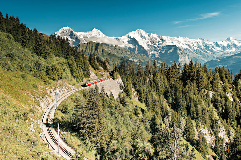
With the snow-dusted peaks of the Bernese Alps soaring above and beautiful alpine lakes glimmering below, there’s no shortage of mind-blowing panoramic views on the stunning trail from First to Schynige Platte. From the charming streets of Grindelwald, you’ll take the Firstbahn gondola, stepping out to incredible views of the surrounding 4,000m peaks.
Following the trail signposted to Bachalpsee, you’ll ascend through pretty wildflower meadows, traversing the slopes north of Grindelwald and past a stunning lake called Bachsee, with spectacular views of the Jungfrau. After a dazzling high ridge, you’ll descend into the Sagistal Valley’s picturesque pastures and the south facing flanks of Loucherhorn, before the final push to the Schynige Platte. From here you can catch the train down to Wilderswil, where a connecting train takes you back to Grindelwald.
Start: Grindelwald
End: Wilderswil
Difficulty: Hard
Distance: 10.2 miles
More hikes in the Bernese Oberland
Looking for more hikes in the Bernese Oberland? There’s plenty to go around, and no shortage of spectacular views either. Click here to see more.